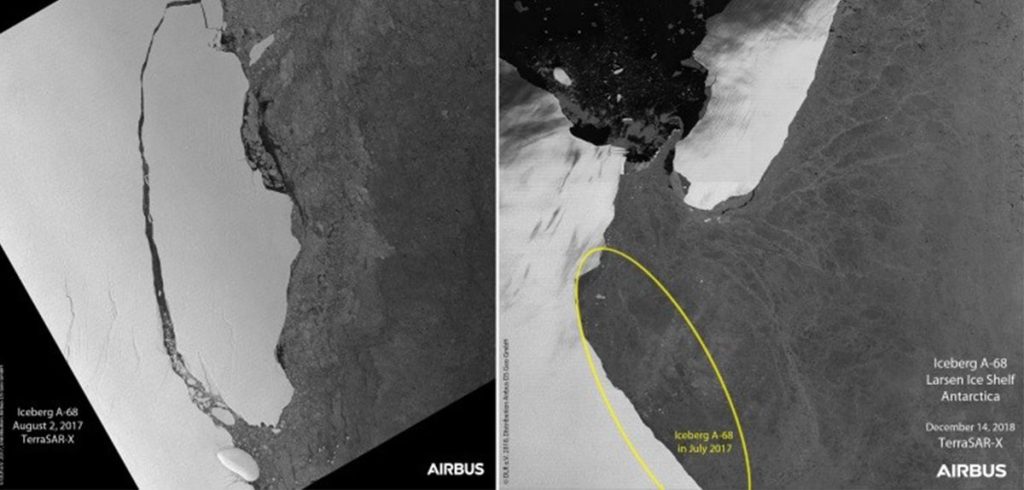
It will use the Hisdesat-Airbus D&S TerraSAR-X-PAZ radar Constellation so that its researchers have unmatched geometric precision, with high temporal and spatial resolution to provide information about any point on Earth, regardless of weather and light conditions.
This data provides unique value to various applications, such as: monitoring of drift ice and marine traffic, detection on,.f movement information in oil and gas fields, objects, etc.


