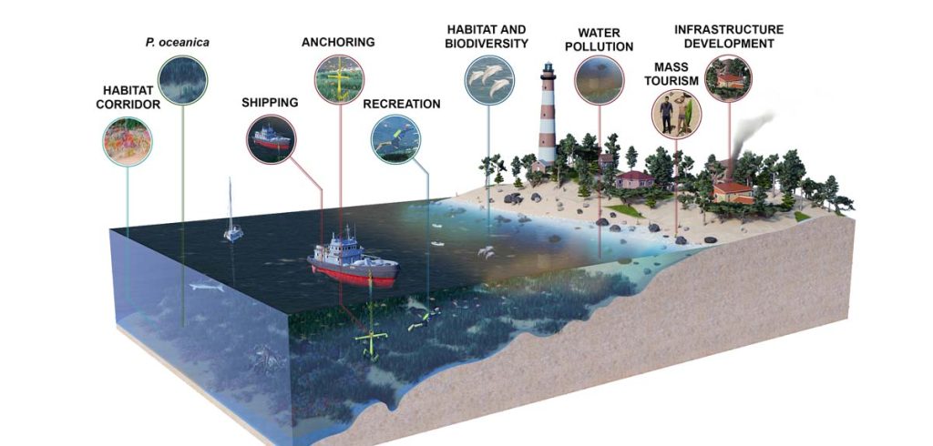
QUASAR SCIENCE RESOURCES, S.L., has mapped for the Ministerio de Transición Ecológica y Reto Demográfico the marine ecosystem of Posidonia oceanica meadows along the Spanish Mediterranean coast (and Balearic Islands) using Sentinel-2 satellite images from 2021, combined with large data sets processing techniques and AI algorithms. In addition, a pilot study has been carried out for the assessment of the temporal evolution of the extension of these meadows between 2017 and 2021.
Protecting the coastal coastal marine ecosystem of Posidonia oceanica from Space using Sentinel-2
Previous ArticleAmazonas Nexus came into operation
Next Article The Future of the CSG depends on the i-CDO


